The iMerit workforce extracts intelligence from remote sensing datasets such as satellite, aerial, and drone imagery to power the development of Artificial Intelligence technology in energy, agriculture, logistics, security and mapping.
Geospatial Technology
iMerit collaborates to deploy AI and Machine Learning in the Computer Vision, Natural Language Processing and Content Services ecosystems by enriching, annotating and labeling data.

Services
Polygon Annotation
Expert annotators plot points on each vertex of the target object. Polygon annotation allows all of the object’s exact edges to be annotated, regardless of shape.
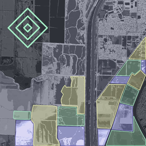
Instance / Semantic Segmentation
Images are segmented into component parts, by the iMerit team, and then annotated. iMerit Computer Vision experts detect desired objects within images at the pixel level.
Image Classification
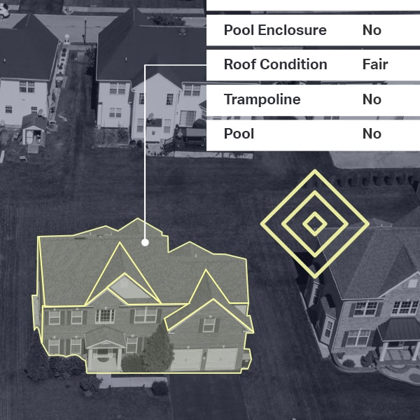
iMerit annotators classify images or objects within images based on custom multi-level taxonomies, including land use, crops, residential property features, among others.
Object Tracking
iMerit teams detect instances of semantic objects of a certain class in digital images and videos, providing a deeper understanding of the scene.
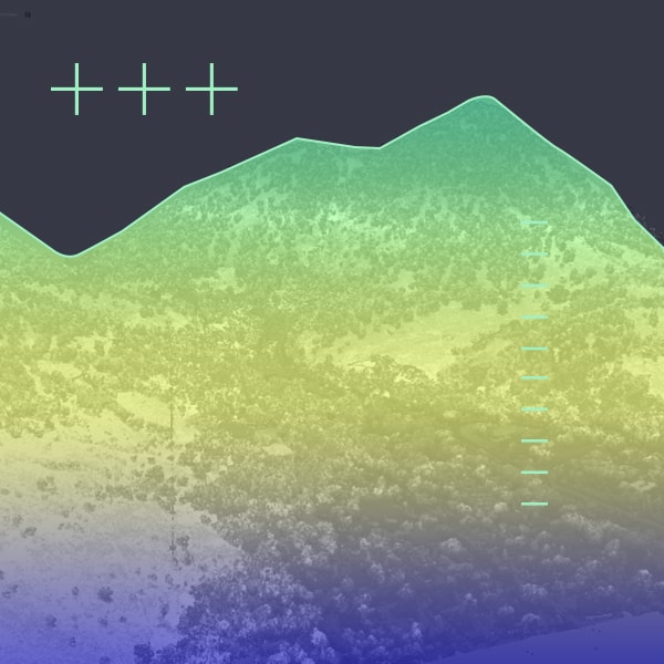
LiDAR Annotation
iMerit teams label images and videos in 360-degree visibility, captured by multi-sensor cameras, in order to build accurate, high-quality, ground truth datasets.
Point of Interest Marking
Trained teams extract intelligence about regions of interest including attributes, seasonal and temporal variations, and behavioral patterns.

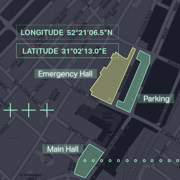
Point Annotation
Data experts annotate images by placing points on specific parts within an image to help locate its component parts.
"Well-managed team, hits predictable timelines, good quality work, easy to scale team up and down. iMerit helps us produce our products faster."
CTO - Geospatial intelligence company focused on property risk and valuation

Solutions
By the Numbers
150
Geospatial data labeling experts
50
M
Data points enriched for geospatial use cases

Working with global AI leaders


Getting
Started!
The need for speed in high-quality data annotation has never been greater. iMerit combines the best of predictive and automated annotation technology with world-class data annotation and subject matter experts to deliver the data you need to get to production, fast.
Let's Connect